 Add Row
  Add
Add 


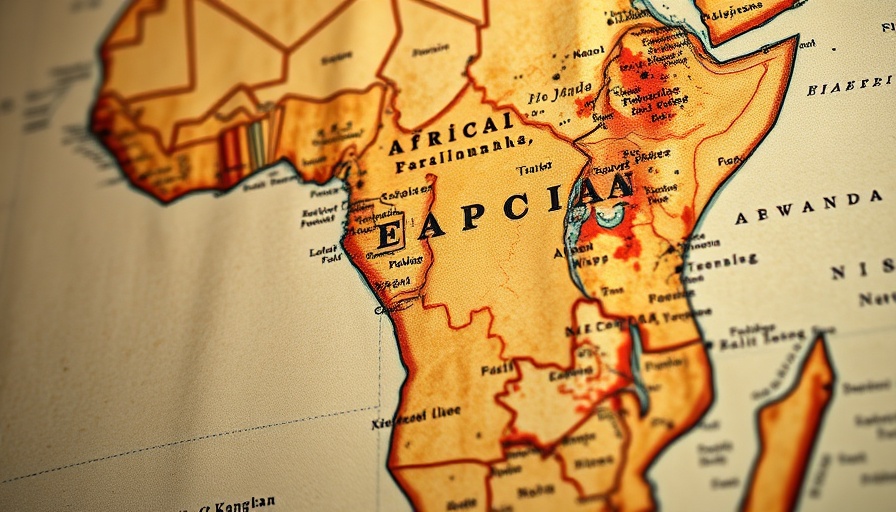
Mapping Africa's True Size: A Call for Change
The African Union's recent endorsement of the Equal Earth projection campaign underscores a growing awareness of the geographical misrepresentation of Africa on global maps. Historically, the popular Mercator projection has distorted the continent's size, allowing Greenland—much smaller by area—to appear disproportionately large. For many, this distortion is more than just a cartographical error; it shapes perceptions, policies, and even educational narratives surrounding Africa.
The Case for Accurate Representation
The global understanding of Africa's significance hinges not only on geography but also on accurate representation. The Equal Earth projection was designed to address this issue. By presenting continents according to their true proportions, it highlights Africa's vast landmass, which can fit approximately 14 times into Greenland. This magnitude reflects Africa's population of over 1.4 billion, its rich resources, and its strategic geopolitical importance.
Why It Matters Globally
The implications of the campaign extend beyond African borders. As advocacy groups like Africa No Filter and Speak Up Africa push for the adoption of the Equal Earth projection in schools and media, they are also challenging the world to reevaluate how Africa is perceived. Fara Ndiaye, co-founder of Speak Up Africa, emphasized that teaching from a distorted map fosters biased views of Africa’s role and significance, urging international stakeholders to engage with Africa on equal footing.
Change is on the Horizon
The African Union's endorsement represents a pivotal moment in the campaign for accurate mapping. This coalition, encompassing 55 member states, heralds a new era in which geographic truth is aligned with global awareness and respect for the continent. Geographers have noted that the Mercator projection is increasingly seen as outdated, with many advocating for updates to education and technology to reflect modern understandings of geography.
The Path Forward
With the endorsement of the Equal Earth campaign, there lies an opportunity for businesses and professionals to engage in these discussions on correctness in representation. Incorporating accurate maps could influence various sectors, from education to trade, further promoting Africa's economic standing in the global community. The shifting perspective may also enhance local business opportunities, positioning African markets as vital components in the global economic landscape.
As we reflect on the potential of Africa's real size, let us consider how accurate representation could reshape not only our maps but also our understanding of the continent's role in world affairs. With the support of the African Union, the message is clear: It is time to change the way we see Africa.


Write A Comment